
Family business
Mutual respect, working together at eye level and appreciative, direct communication characterize us as a family-run company.
1/3

Specialists with high tech
Every customer is unique, that's why we provide them with an individual, needs-oriented solution with exact results.
2/3

Workplace Earth
We offer our employees an environment to grow, where they can contribute creatively with their own ideas and act on their own responsibility.
3/3

Services

BIM (Building Information Modeling)
Digitizing-, modeling- and consulting services for projects that are carried out after the BIM-method

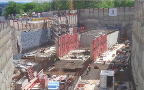
Surveying
All services from the first idea, through the planning phase on to completion of the project

Digital spatial data
Surveying services for the complete life cycle of real estates.

Track surveying
From the inventory of track systems to the creation of track geometric projects.


These are the advantages we offer

Future-oriented
We use the most up-to-date and efficient technologies and methods to provide our customers with the most economical and best quality solution.

Specialized
We have expertise and employ specialists from different fields (surveyors, surveying technicians, civil engineers, architects).

Experience
For over 25 years, we have been serving our customers and striving to become better every day.

Customer-oriented
We know that every project and every customer is unique. Our goal is to support our customers with our expertise and the appropriate technology for their project.

Your contact persons
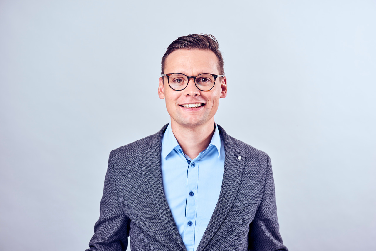
Oliver Wuttke
Managing Partner

Ingo Eppert
Managing Director / Sales Manager

Nico Caspar
department head digital spatial data
News
Wuttke Ingenieure Story der Woche
to Instagram profile


